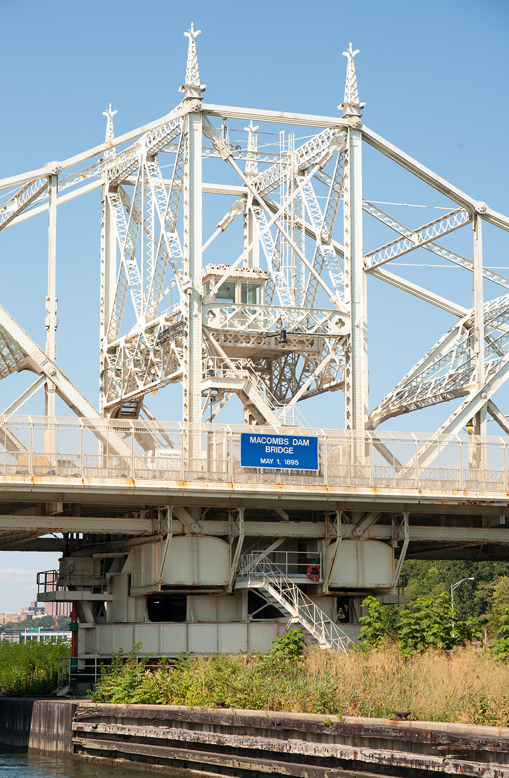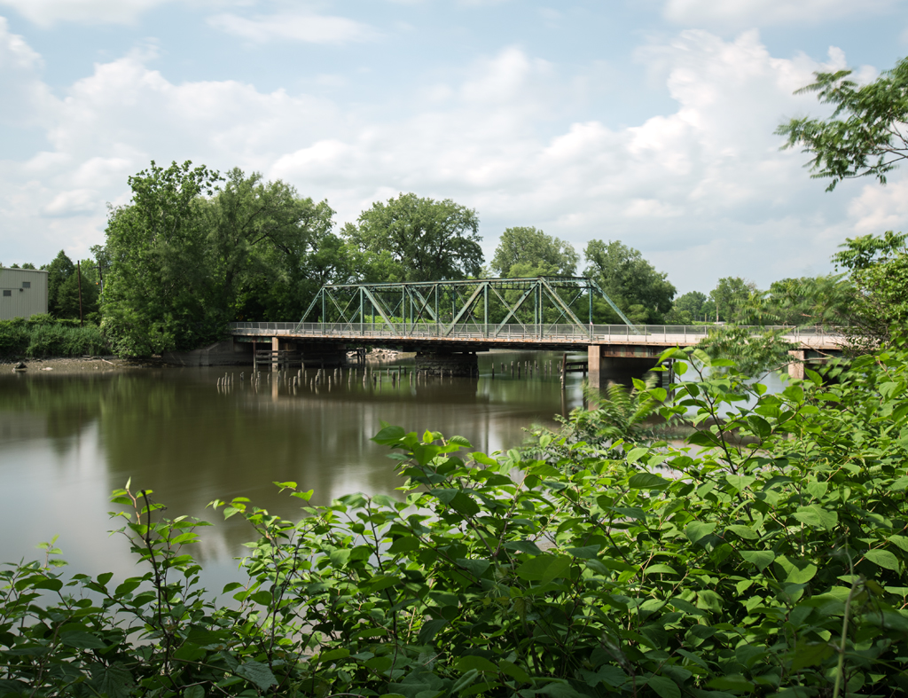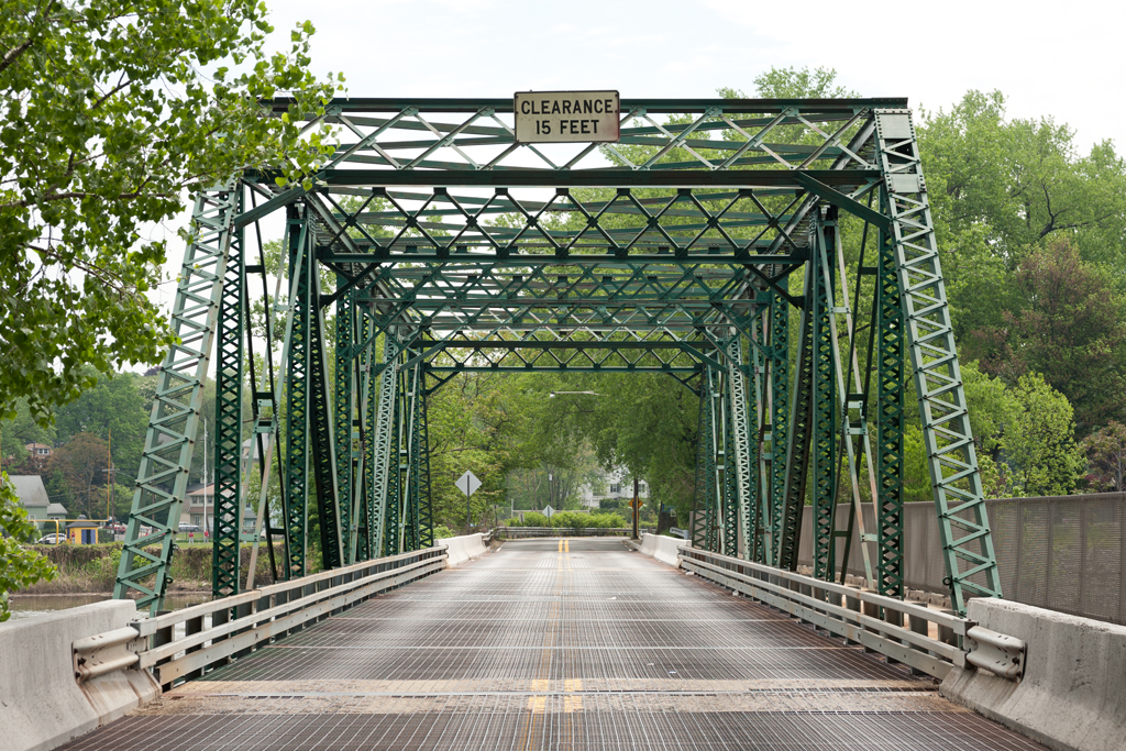
Crosses: Pelham Bay
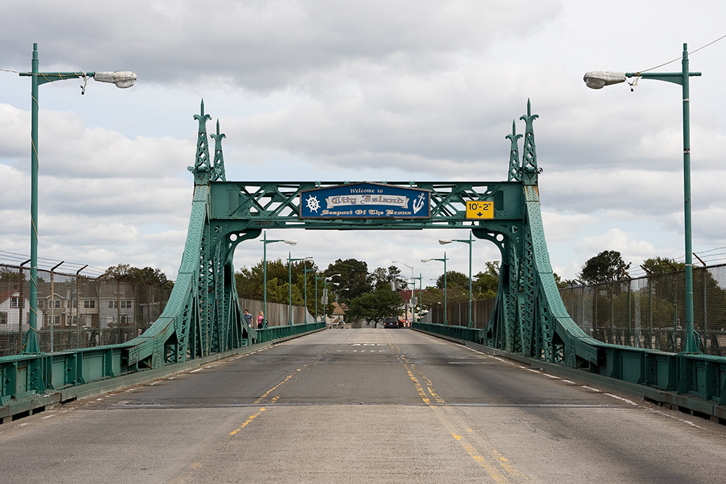
Connects: Pelham Bay Park and City Island, Bronx, NY [satellite map]
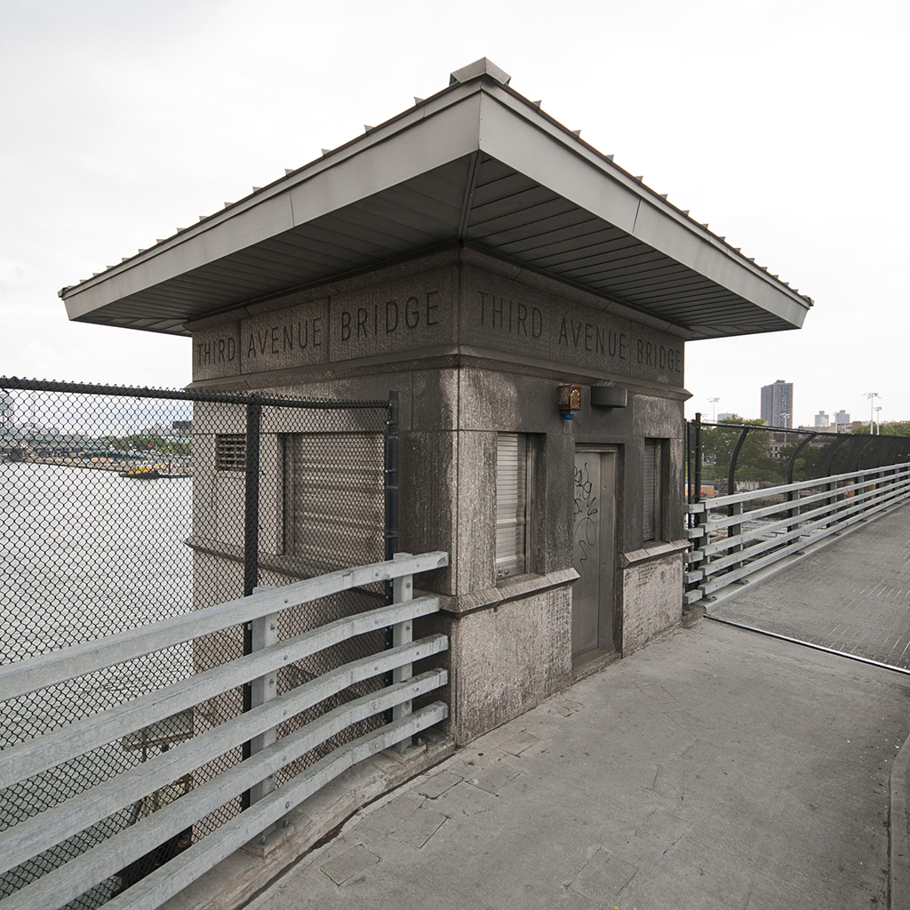
Carries: 2 vehicular lanes, 1 fire lane, 2 pedestrian sidewalks
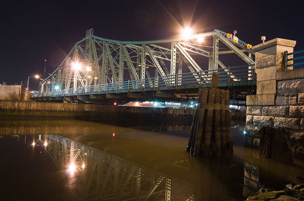
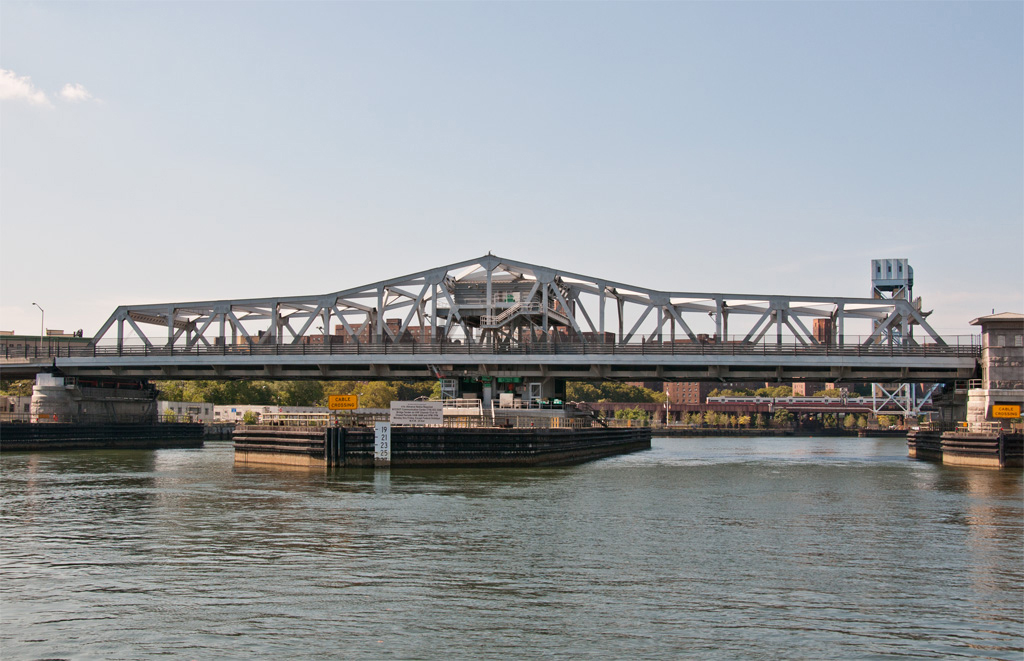
Design: (former) swing bridge, now fixed
Date opened: July 14, 1901
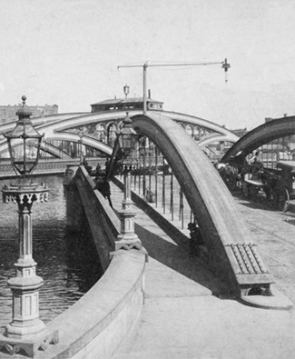
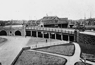
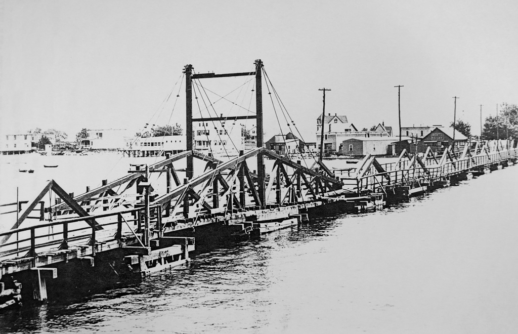
Postcard view: “New Bridge. City Island, N.Y.”
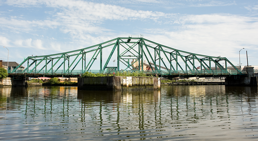
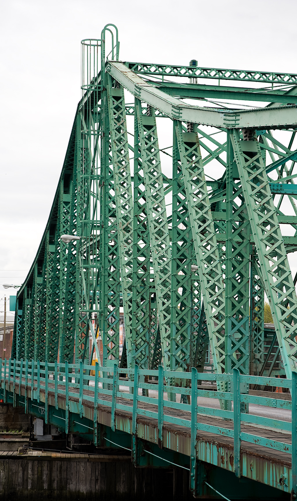
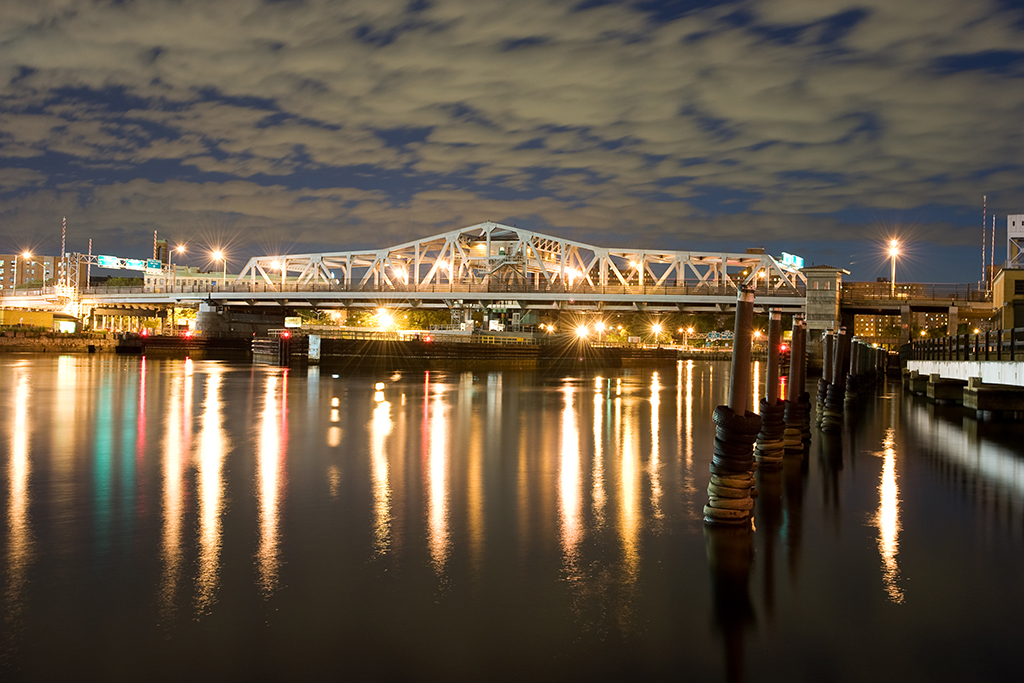
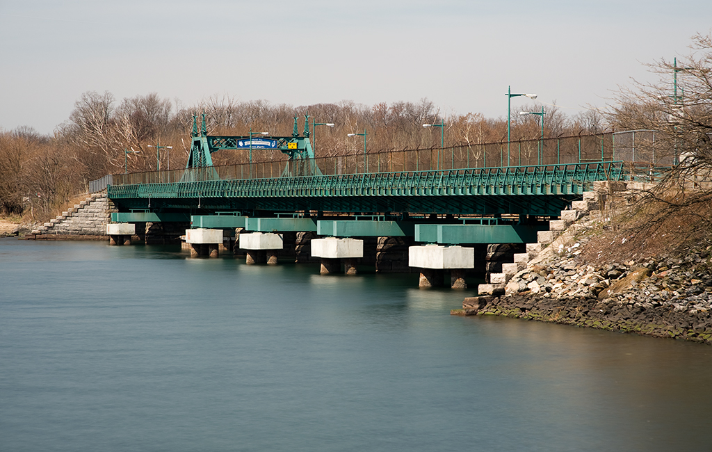
The City Island Bridge is a fixed bridge (formerly a swing) that connects City Island with Rodman’s Neck in Pelham Bay Park, in the eastern part of the borough of the Bronx.
City Island is a small island, just one and a half miles long by half a mile wide, off the coast of the Bronx mainland in Eastchester Bay. It is known locally as “The Seaport of the Bronx,” and is famous for its resemblance to New England fishing villages. City Island was first settled by the English in the second half of the 17th century after Thomas Pell’s purchase of over 9,000 acres of land from a local Native American tribe known as the Siwanoys. It was originally known as Minnewits or Minefords Island after either Peter Minuit, purchaser of Manhattan, or another local tribe. In 1761, the island was purchased by a businessman named Benjamin Palmer (the builder of Farmer’s Bridge), who hoped to establish the island as a rival city to New York. The American Revolution prevented his plans from coming to fruition, though the name he chose for the settlement, New City Island, stuck, surviving for about a hundred years before being shortened to the current City Island.
Need for a Bridge
On May 10, 1763, the first ferry was established between City Island and Rodman’s Neck. On April 3, 1775, the State Legislature passed an act authorizing Benjamin Palmer and Samuel Rodman, who owned the land closest to the island, to build a “free draw Bridge over the Narrows from Mineford’s Island to Rodman’s Neck” [1] within seven years of the passage of the act. It is apparent, however, that no action was taken. Another act was passed in 1804 to allow the construction of a bridge, but the initiative failed due to lack of financial support.
First Crossing
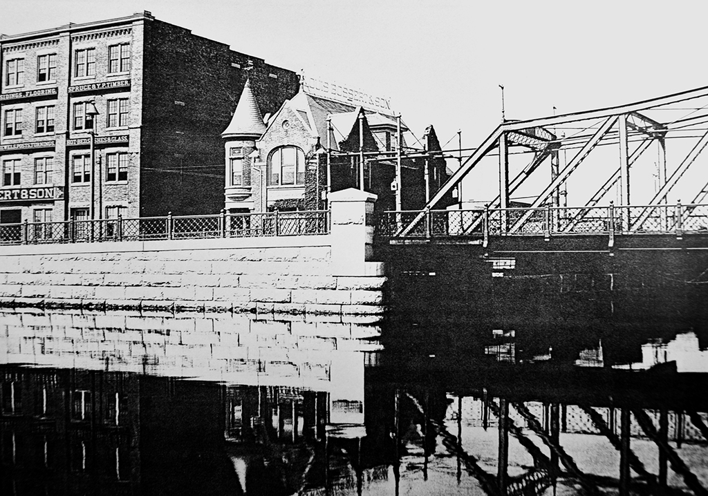
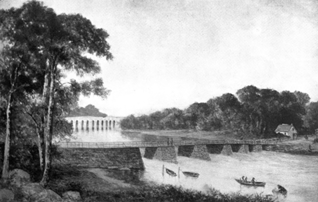
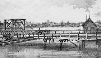
Nothing further was done until April 30, 1864, when the City Island Bridge Company was incorporated to build a toll bridge to City Island. The company failed to build a bridge, however, and the State allowed the town of Pelham, of which City Island was a part of at the time, to acquire the title to the bridge company and permission to charge tolls in 1873. Around the same time, David Carll, a prominent shipbuilder with a large shipyard on City Island, purchased a decommissioned US warship named the North Carolina at a public auction. Carll used wood salvaged from the ship to build a number of smaller boats, and used the leftovers to build the first bridge connecting City Island with the mainland. That bridge (above), was built primarily of wood from the North Carolina, with some ironwork taken from the old Cole’s Bridge, the first bridge to cross the Harlem River. It was was widely reported at the time and for years afterwards (and occasionally even today) that the entire bridge was moved by scows to City Island when it was replaced by the first Third Avenue Bridge, but this appears to be incorrect.
A New Bridge
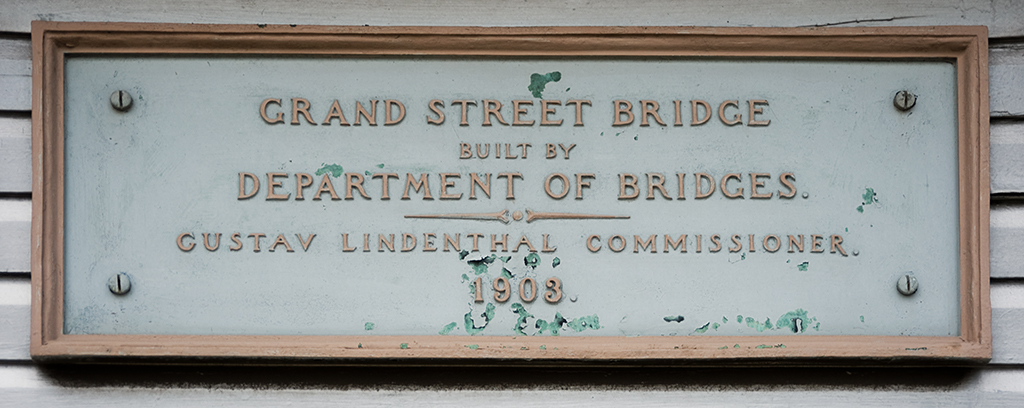
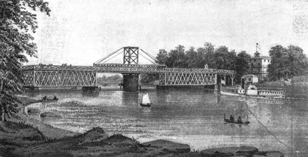
The town continued to charge tolls on the bridge until 1895, when that part of the Bronx was annexed by New York City. The bridge had become seriously deteriorated by then, with some newspaper accounts telling of residents who had become too afraid to cross it. Plans were already underway for a replacement, however, with the state passing laws in 1894 and 1896 authorizing the construction of a new bridge. Contracts for the construction of the new bridge were signed by Mayor William Strong in 1897, reportedly two hours before the end of his term of office. Construction on the new bridge began on January 19, 1899.
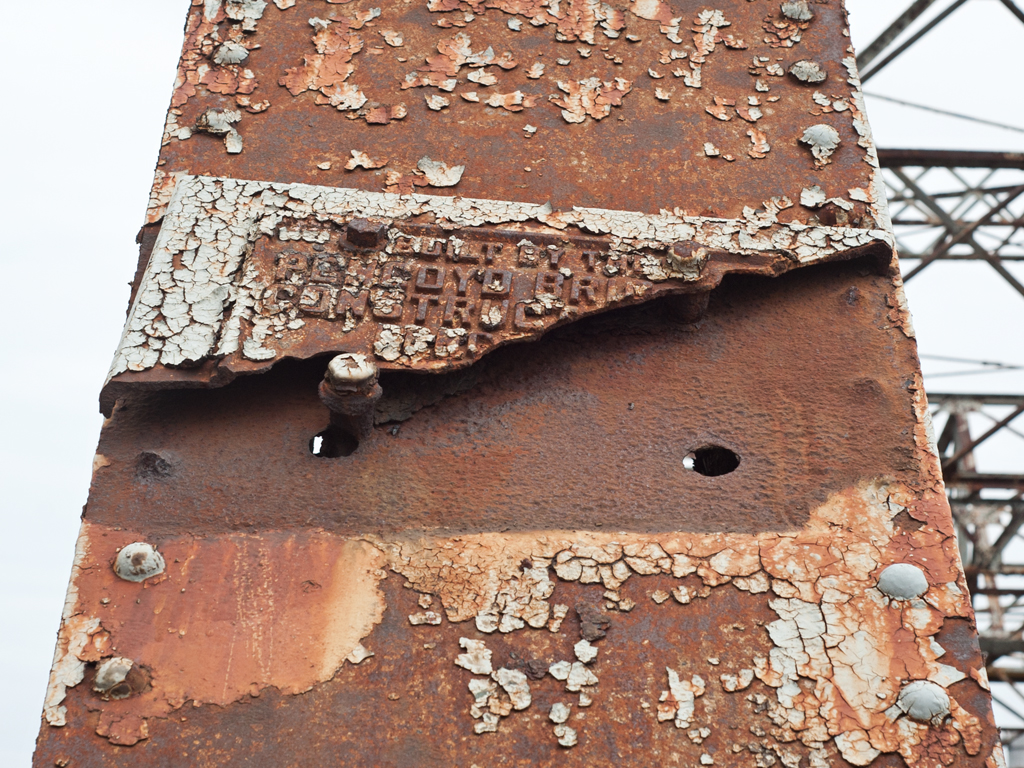
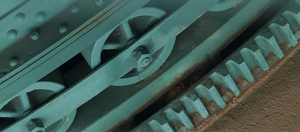
The City Island Bridge was built as a swing bridge with a 180-foot-long swing span and five 80-foot-long fixed approach spans. The structure was built atop six masonry piers sunk 40 feet below the surface of the water to rock, and faced mostly with blue gray limestone. The pier sinking and structure construction were performed by the John F. O’Rourke contracting company of New York. The swing span, built by the King Bridge Company, is of a through truss design, with a rectangular central tower topped with ornamental finials and concave chords on each side supporting the deck. It was completed in 1901 at a cost of $250,000. The bridge was informally opened to pedestrians by Deputy Commissioner of Bridges Matthew Moore on July 4, 1901 as a favor to City Island residents looking to celebrate the nation’s 225th Independence Day, fifty of whom attended the opening. Two weeks later, on July 14, a bridge watchman named Sprout officially opened the bridge to horse carriage traffic by cutting away the old manila ropes that had hung across each end of the roadway.
Monorail
In 1910 a monorail line, the first in the western hemisphere, was established by the City Island Monorail Company between the Bartow Station of the New York, New Haven, and Hartford Railroad and a station at the eastern approach to the City Island Bridge, with plans to build an extension over the bridge to a station on the island itself. The line was a failure, however, and the system was dismantled on March 16, 1914 to make way for a standard two-rail trolley line.
Repairs and Plans for Replacement
By the 1970’s, like so many other New York City bridges, the City Island Bridge began to show its age. Divers for the city inspecting the bridge’s substructure found cracks and faults in the limestone piers supporting the bridge. A major rehabilitation project began in 1977, extending the life of the bridge by several decades.
The bridge has continued to deteriorate since then, however, and the city now plans to replace it entirely. The new bridge will be of a cable-stayed design, with a 150-foot concrete tower supporting the bridge deck via a system of suspension cables. The Department of Transportation has compared the new design to the mast of a sailboat, fitting the island’s image of a nautical town. Some City Island residents disagree; one member of the City Island Historical Society called the design “a monstrosity” [2] . Work was originally set to begin in 2006, but has been pushed back to 2011 due to budgetary concerns.